Trail Guide: Waterfall Loop, Vic
TRAIL GUIDE >> Lorne Waterfall Loop, Victoria, AU
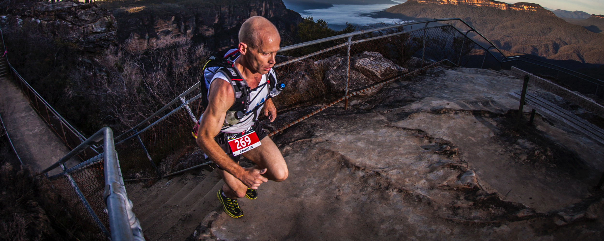
YOUR GUIDE: Chris Ord
They call it the Noosa of the South…the vibrant seaside town of Lorne on Victoria’s Great Ocean Road. But turn away from the beautiful beaches and head inland where you will find a wonderland of singletrack criss-crossing through stunning sections of rainforest, fern fringed hillsides, babbling creeks and giant waterfalls. You can link them together a few ways, but here’s an open jaw loop run that has become our favourite.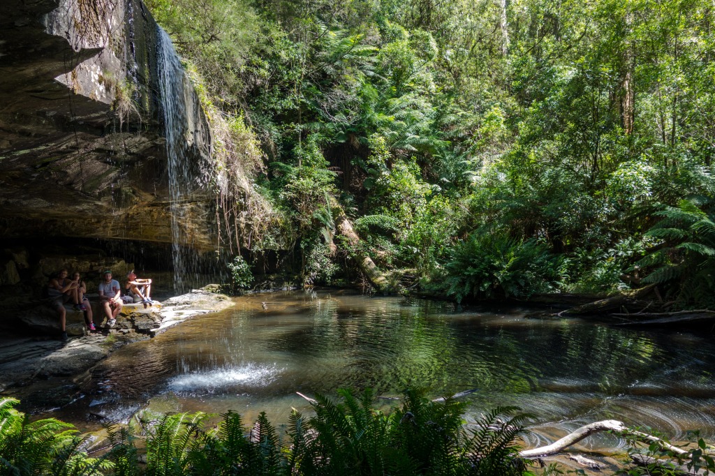
NAME: Lorne Waterfall Loop
NEARBY TOWN/CITY: Lorne (5 minutes from start); Melbourne 145km / 2 hours
EXACT LOCATION: Shorter trail begins at She Oak Picnic Area. Longer run heads from Lorne Main Street south along the coast.
TOTAL ROUTE DISTANCE: 24km or 31km
TOTAL ASCENT/DESCENT: 800m/750m
TIME TO RUN: 3-4 hours
TYPE OF TRAIL RUN: Open jaw loop (car shuffle) or full loop
DIFFICULTY: Moderate – great runnability given the technical terrain, but be careful of the slippery rocks encountered in several sections.
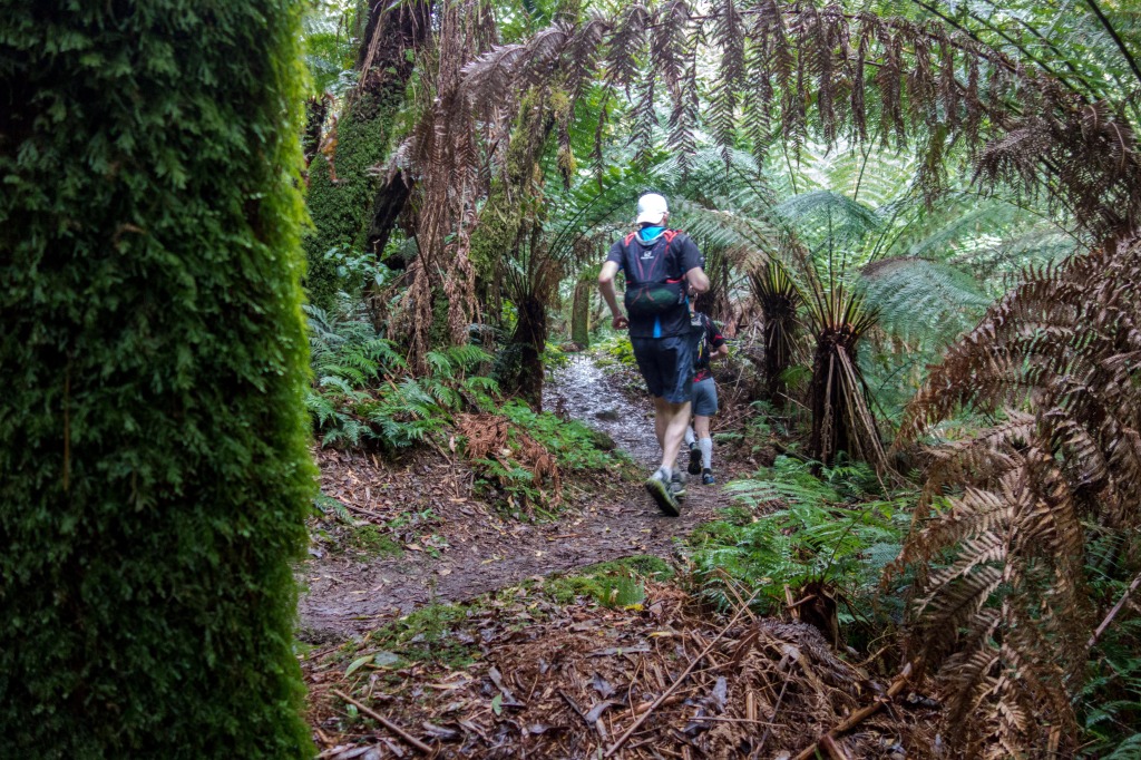
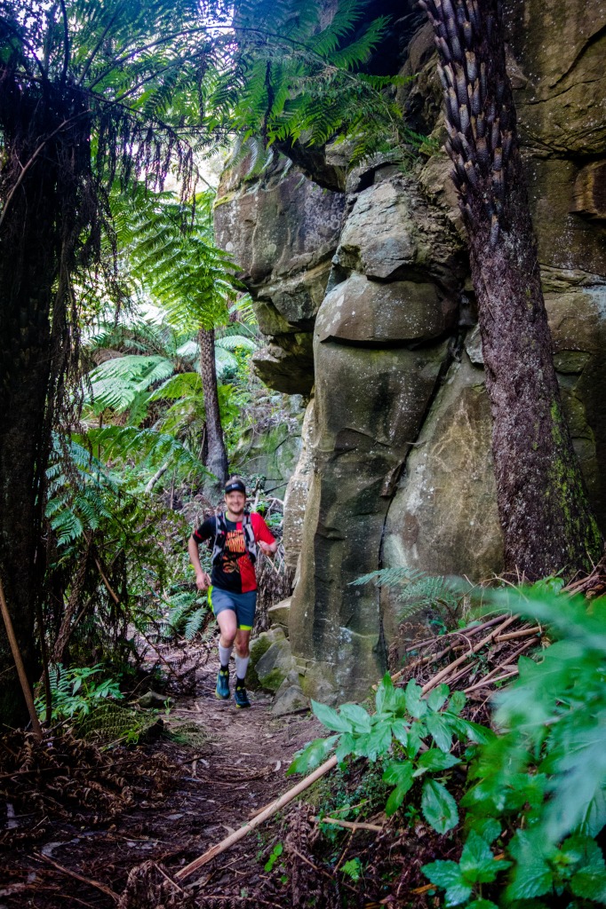
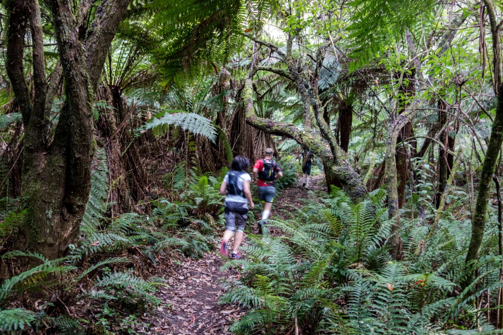
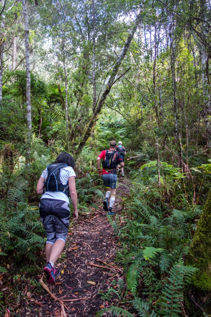
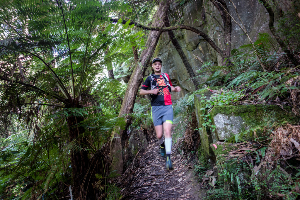
DEFINING CHARACTERISTICS: Mostly single track, rainforest fern and eucalypt forest, technical sections matched to lots of fine flowy sections that means you can get on a pace and maintain it for big sections, while the break up bits of creek crossings and rocks give good breather points. FEATURES OF INTEREST: numerous waterfalls, swimming spots, huge ferns, creeks, Erskine Falls is the biggest (but most crowded) falls en route. Check the natural rock slide garden about 500 metres just prior to the finish, on the left.
WEB & MAP: http://www.visitgreatoceanroad.org.au/media/2381059/lorne_walks_and_waterfall.pdf
 RUN IT:
- You’ll need to car shuffle this one, although if you’re running solo and happy with a longer stretch, you can run (mostly on trail) out to the nominated start of this at She Oak Picnic Area. Or for shufflers, it is a five minute drive up Allenvale Road, which leads off behind Lorne.
- The suggested full loop (no car shuffle) run adds on at least 7km, and has you running out of town coasteering south to eventually picking up the trail inland at St Georges River. That trail passes the Allenvale Mills site, from where you left up Allenvale Road (dirt) to She Oak Picnic Area (the shufflers’ start)
- If you are limited for time or just happy with the 24km distance, leave a car in Lorne, and drive another to the She Oak Car Park.
- From the car park there is a trail leading north down over a bridge and towards Henderson Falls and The Canyon (signposted).
- The trail shortly hits the Allenvale Road (200 metres in), crossing over and take the trail left uphill another 150 metres before crossing Sharps track. Stay on the singletrack as it sidles down to Won Wondah Falls (small, 50 metres off trail) and on to Henderson Falls, an out and back side trip that adds 600 metres, but worth the detour.
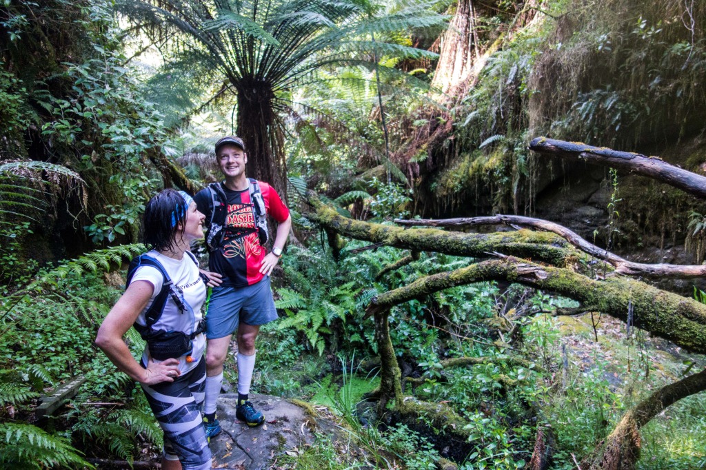
- From Henderson Falls, track north towards The Canyon – this is a sublime patch of wilderness that has you entering the canyon from the rear, with big rock walls squeezing you eventually through a tight cave-like hole, popping you back onto runnable trail.
- From The Canyon it is another 1.2km to reach Phantom Falls. A good refresher stop or even swim spot.
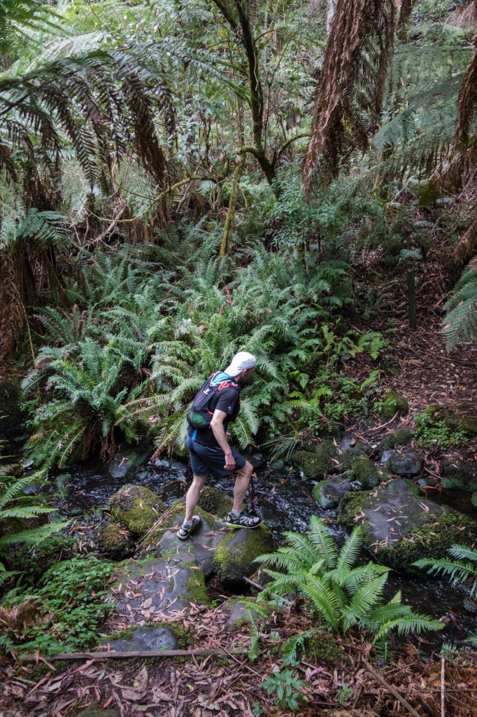
- From Phantom Falls, it is another 800 metres to a road crossing (Ada Dam Car Park) before you are pushed into a 5.5km stretch of jungle trail that while mostly runnable, does have umpteen creek crossings as you weave back and forth across Cora Lynn Creek. This is a magical part of the run where you feel truly remote as you slowly climb up into a gorge that ends at Cora Lynn Cascades, a stunning set of falls.
- A short steep climb and a signposted left hand turn off the main ascent trail brings you out at Erskine Falls Road.
- Cross directly over following the singletrack another 2.5km from the road on a sweet, fast and flowy section through fern and eucalypt country spitting out at the Erskine Falls Car Park. This is the only section you may have to share the trails with crowds, given the easy car access and picturesque nature of the Falls.
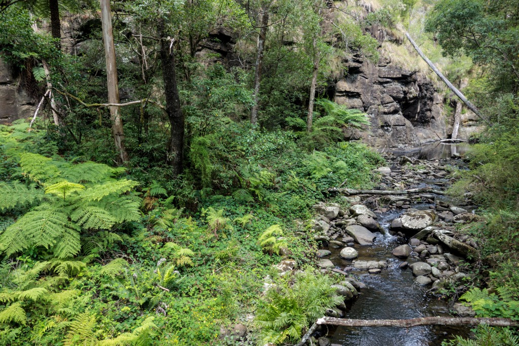
- Drop down the steep stone stairs to the base of the waterfall, check it out from the viewing platform, before continuing downstream, along Erskine River, being careful on the upper sections as the rocks are super slippery.
- After scrambling and rock hopping about 1km or so, the trail stretches out into a super runnable and fast downhill (mostly), following the course of the river past Straw Falls and Splitter Falls, and on down to finish near the Lorne Caravan Park and within cooee of a bazillion coffee, cakes, lunches and all kinds of fine foodie fare. But first, a dip in the ocean – it’s only a few hundred metres away…
 POST RUN GOODNESS:
This is Lorne. Café culture central on the south-west coast of Victoria, so take your pick. But we’ll say have a crack at the burgers and milkshakes (and decent coffee) at The Milk Bottle, or next door’s Kaos is also a cheery eatery with good servings of carbohydrates.