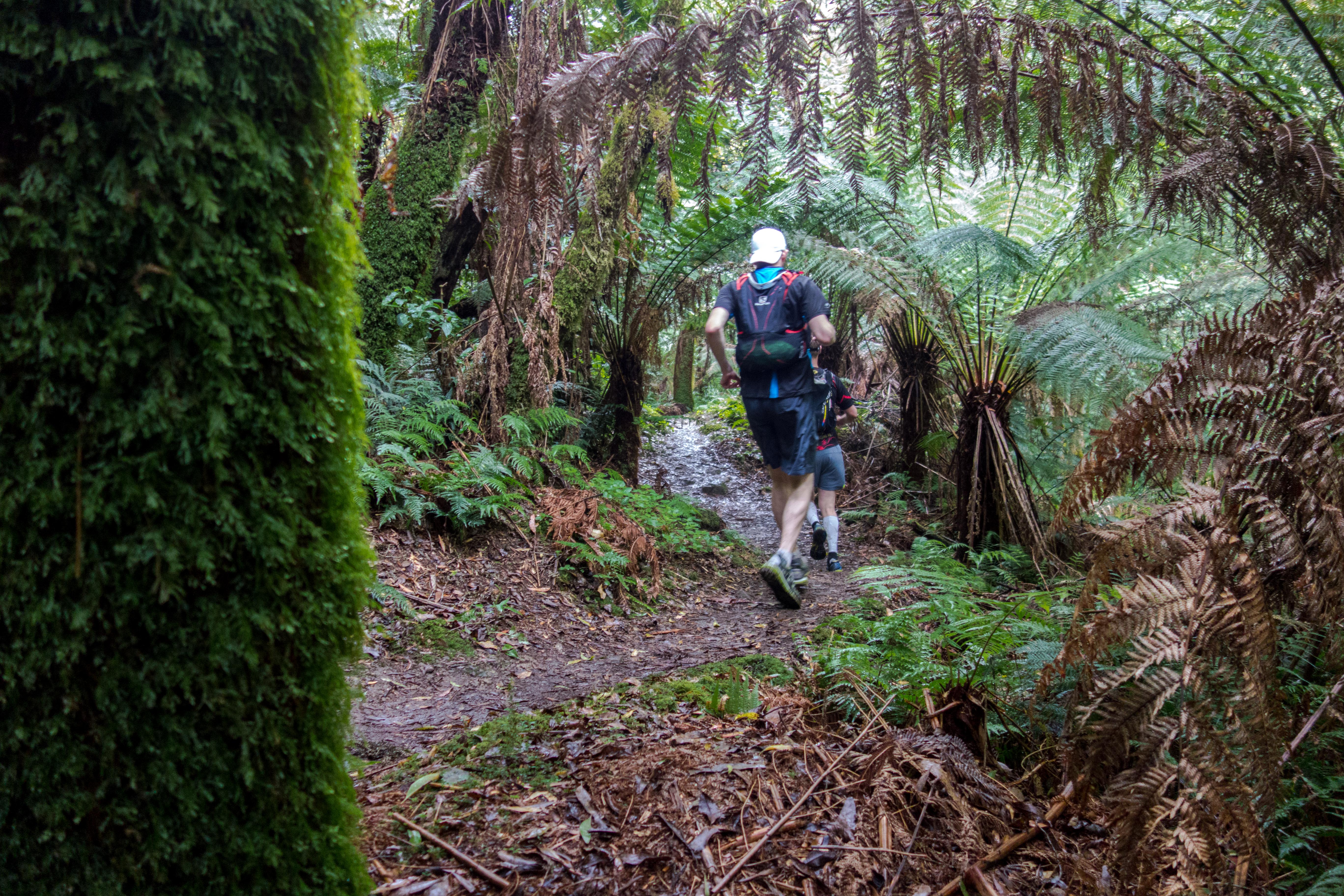
Trail Guide: Waterfall Loop, Vic

TRAIL GUIDE >> Lorne Waterfall Loop, Victoria, AU

YOUR GUIDE: Chris Ord

They call it the Noosa of the South…the vibrant seaside town of Lorne on Victoria’s Great Ocean Road. But turn away from the beautiful beaches and head inland where you will find a wonderland of singletrack criss-crossing through stunning sections of rainforest, fern fringed hillsides, babbling creeks and giant waterfalls. You can link them together a few ways, but here’s an open jaw loop run that has become our favourite.DSC01163


NAME: Lorne Waterfall Loop
NEARBY TOWN/CITY: Lorne (5 minutes from start); Melbourne 145km / 2 hours
EXACT LOCATION: Shorter trail begins at She Oak Picnic Area. Longer run heads from Lorne Main Street south along the coast.

TOTAL ROUTE DISTANCE: 24km or 31km
TOTAL ASCENT/DESCENT: 800m/750m
TIME TO RUN: 3-4 hours
TYPE OF TRAIL RUN:
Open jaw loop (car shuffle) or full loop

DIFFICULTY: Moderate – great runnability given the technical terrain, but be careful of the slippery rocks encountered in several sections.
DEFINING CHARACTERISTICS: Mostly single track, rainforest fern and eucalypt forest, technical sections matched to lots of fine flowy sections that means you can get on a pace and maintain it for big sections, while the break up bits of creek crossings and rocks give good breather points. FEATURES OF INTEREST: numerous waterfalls, swimming spots, huge ferns, creeks, Erskine Falls is the biggest (but most crowded) falls en route. Check the natural rock slide garden about 500 metres just prior to the finish, on the left.
WEB & MAP: http://www.visitgreatoceanroad.org.au/media/2381059/lorne_walks_and_waterfall.pdf


DSC01187RUN IT:

  1. You’ll need to car shuffle this one, although if you’re running solo and happy with a longer stretch, you can run (mostly on trail) out to the nominated start of this at She Oak Picnic Area. Or for shufflers, it is a five minute drive up Allenvale Road, which leads off behind Lorne.
  2. The suggested full loop (no car shuffle) run adds on at least 7km, and has you running out of town coasteering south to eventually picking up the trail inland at St Georges River. That trail passes the Allenvale Mills site, from where you left up Allenvale Road (dirt) to She Oak Picnic Area (the shufflers’ start)
  3. If you are limited for time or just happy with the 24km distance, leave a car in Lorne, and drive another to the She Oak Car Park.
  4. From the car park there is a trail leading north down over a bridge and towards Henderson Falls and The Canyon (signposted).
  5. The trail shortly hits the Allenvale Road (200 metres in), crossing over and take the trail left uphill another 150 metres before crossing Sharps track. Stay on the singletrack as it sidles down to Won Wondah Falls (small, 50 metres off trail) and on to Henderson Falls, an out and back side trip that adds 600 metres, but worth the detour.
  6. From Henderson Falls, track north towards The Canyon – this is a sublime patch of wilderness that has you entering the canyon from the rear, with big rock walls squeezing you eventually through a tight cave-like hole, popping you back onto runnable trail.
  7. From The Canyon it is another 1.2km to reach Phantom Falls. A good refresher stop or even swim spot.
  8. From Phantom Falls, it is another 800 metres to a road crossing (Ada Dam Car Park) before you are pushed into a 5.5km stretch of jungle trail that while mostly runnable, does have umpteen creek crossings as you weave back and forth across Cora Lynn Creek. This is a magical part of the run where you feel truly remote as you slowly climb up into a gorge that ends at Cora Lynn Cascades, a stunning set of falls.
  9. A short steep climb and a signposted left hand turn off the main ascent trail brings you out at Erskine Falls Road.
  10. Cross directly over following the singletrack another 2.5km from the road on a sweet, fast and flowy section through fern and eucalypt country spitting out at the Erskine Falls Car Park. This is the only section you may have to share the trails with crowds, given the easy car access and picturesque nature of the Falls.
  11. Drop down the steep stone stairs to the base of the waterfall, check it out from the viewing platform, before continuing downstream, along Erskine River, being careful on the upper sections as the rocks are super slippery.
  12. After scrambling and rock hopping about 1km or so, the trail stretches out into a super runnable and fast downhill (mostly), following the course of the river past Straw Falls and Splitter Falls, and on down to finish near the Lorne Caravan Park and within cooee of a bazillion coffee, cakes, lunches and all kinds of fine foodie fare. But first, a dip in the ocean – it’s only a few hundred metres away…

DSC01174-2POST RUN GOODNESS:
This is Lorne. Café culture central on the south-west coast of Victoria, so take your pick. But we’ll say have a crack at the burgers and milkshakes (and decent coffee) at The Milk Bottle, or next door’s Kaos is also a cheery eatery with good servings of carbohydrates.


Taste of Lorne 800

DSC01219 DSC01206 DSC01204 DSC01187 DSC01182 DSC01180 DSC01179


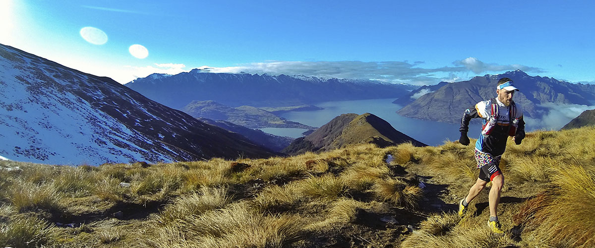
Trail run guide: Ben Lomond, New Zealand

Your guide: Matt Judd from www.juddadventures.com

One could argue that New Zealand boasts more killer trails per capita than anywhere else on the planet. And if one did argue that, one would have to say that Queenstown was the capital, so close is it to a plethora of singletrack gold. Thing is, you don’t even have to step far from town centre to be able to tackle a monster mountain run. Matt Judd, usually found on the Gold Coast, nipped over the Tasman to have a play in the hills, Ben Lomond to be precise.

DCIM105GOPRONEARBY TOWN/CITY: Queenstown (the run starts/finishes in the centre of town)
EXACT LOCATION: Skyline gondola base on Brecon St
TOTAL ROUTE DISTANCE: 16km (give or take)
TOTAL ASCENT/DESCENT: +/-1600m
TIME TO RUN: 2-3hrs for elites. 5-7hrs if you’re taking it easy and enjoying the views.
TYPE OF TRAIL RUN: Out and back with a loop
option to finish
DIFFICULTY: Hard
DEFINING CHARACTERISTICS: Native forest, breathtaking views of Lake Wakatipu and the surrounding mountain ranges, beautiful singletrack running
FEATURES OF INTEREST: The run takes in either native beech forest or douglas fir forest down low (depending which way you run), and opens up above the treeline to spectacular lake and mountain views in every direction. Do NOT forget the camera for this one!
FURTHER INFORMATION HERE
MAP HERE

DCIM105GOPRORUN IT:
There are plenty of variations to how you start/finish this run, but this one takes in a little bit of the lake before taking you up the steep stuff!

1.     From the gondola base, head down Brecon St to the lake. You’ll cross several roads during this time but the lake is a pretty easy landmark to find!

2.     When you get to the lake turn right onto the wharf keeping the water on your left. Follow this until the wharf ends and a path begins, leading you beside Lake Esplanade heading out of town towards Fernhill. Follow it.

3.     You follow the path for 800m or so where you will come to One Mile Roundabout. Here, take the right-most road (there’s a gravel path on the side) which takes you to the One Mile Creek Walk and the old power station.

4.     When you get to the old power station take the straight-most option which is signposted. Be careful not to follow the mountain-bike only trails in this area.

DCIM105GOPRO5.     The next bit takes a little care navigating as you need to follow the orange trail arrows randomly fixed to trees on the route. It’s not hard to follow, but you need to keep your eyes out for the correct way. The going through here is steep.

6.     Continuing up, you eventually find yourself in a clearing (Midway Clearing, but this is not midway for your run!) which you will need to cross, finding the DOC sign to the Ben Lomond Track. Follow the track and after more honest (steep!) work, you’ll find yourself at the edge of the treeline.

7.     300m or so from when you break through the trees, there is a track junction at which you want to continue straight on in the direction of the Ben Lomond saddle. Remember this junction for the return journey. From here it’s onward and upward!

8.     Follow the Ben Lomond Track up, being sure to lift your head up and take in the ever-changing, spectacular views of the surrounding region. You will eventually come to a DOC sign at the Saddle indicating the Ben Lomond Summit track to the left (your route) or the Moonlight Track/Arthur’s Point to your right – go left. There’s a chair not far on from here that affords great views of the mountains if you need a sit down.

9.     Continue to follow the tramped route, which sees you climb steadily up before taking you around to make your final approach to the summit from the north-west. You made it!

10.  Coming back off the summit, re-trace your route back to the saddle and continuing on the Ben Lomond Track towards Queenstown. You will eventually get yourself back to the track junction you first approached that sits about 300m on from the treeline. This time, take the left path which directs you towards the gondola station.

11.  Following the signs to the gondola station is easy enough, and once you arrive you can stop for a pit-stop or keep making your journey back to town. From the station, follow the Skyline Access Rd down for 600m or so until you reach the signposted entrance to the Tiki Trail – this is the trail you’ll follow back to the finish.

DCIM105GOPRO12.  The Tiki Trail signs guide you all the way back down the steep trails, following the orange tree markers where signs aren’t present. You’ll come to a few mountain bike track junctions along the way but the walking route is well marked. And you’re done!

Note that the track is in an alpine environment up high and can be difficult and often dangerous to navigate in winter conditions (snow and ice!). It always pays to check in at the DOC office in town to find out about track conditions before heading out, and if you can find a local to accompany you – even better!

POST RUN GOODNESS:

Queenstown is perhaps just as well prepared for post-run goodness as it is for the delights of running! For a coffee or quality diner-style breakfast, Joe’s Garage – hidden away on Searle Lane in the middle of town – serves a consistently good brew and hearty sized meals. If you’re chasing a post-run beer, it’s hard to overlook Pub on Wharf – located on Steamer Wharf in the heart of Queenstown – where you’re treated to an affordable-yet-quality menu, a dizzying array of beer choices (*Sassy Red* – thank us later), and you can sit outside and watch the world go by next to the lake. Hard to beat, really.